Former Sawyers Arms pub, Maesteg
Introduction
The photograph on this page of Former Sawyers Arms pub, Maesteg by Jaggery as part of the Geograph project.
The Geograph project started in 2005 with the aim of publishing, organising and preserving representative images for every square kilometre of Great Britain, Ireland and the Isle of Man.

There are currently over 7.5m images from over 14,400 individuals and you can help contribute to the project by visiting https://www.geograph.org.uk
Former Sawyers Arms pub, Maesteg
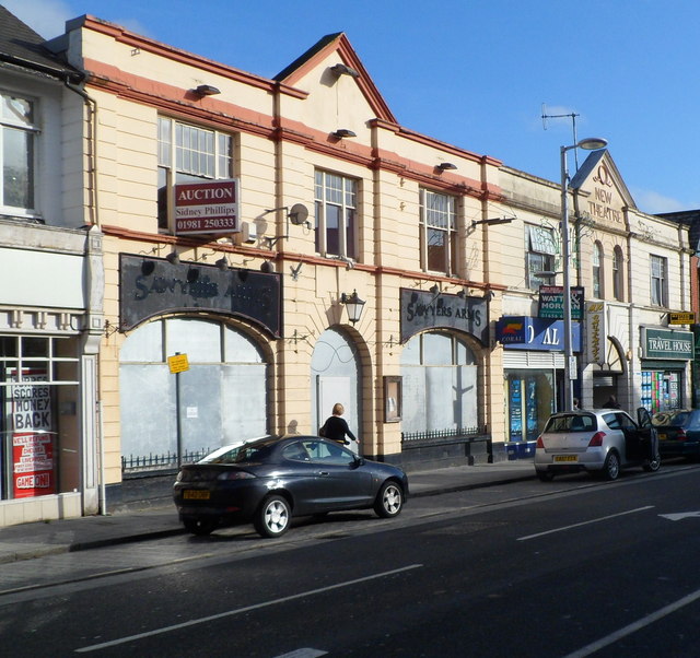
Image: © Jaggery Taken: 17 Nov 2011
An auctioneer's board is on the wall of the former Sawyers Arms pub, at the NW end of Commercial Street. The ground floor door and windows are protected by sheet metal. Though the pub name has been removed, silhouettes of the name remain above the window arches.
Images are licensed for reuse under creativecommons.org/licenses/by-sa/2.0
Image Location
Latitude
51.607874
Longitude
-3.660636