Former railway line near Cad Road
Introduction
The photograph on this page of Former railway line near Cad Road by Derek Harper as part of the Geograph project.
The Geograph project started in 2005 with the aim of publishing, organising and preserving representative images for every square kilometre of Great Britain, Ireland and the Isle of Man.

There are currently over 7.5m images from over 14,400 individuals and you can help contribute to the project by visiting https://www.geograph.org.uk
Former railway line near Cad Road
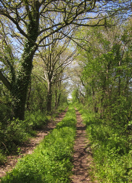
Image: © Derek Harper Taken: 12 May 2012
Another view along the stretch of the Chard-Taunton railway track shown in Image The line was open to passenger traffic from 1866 to 1962.
Images are licensed for reuse under creativecommons.org/licenses/by-sa/2.0
Image Location


Leaflet Map data © OpenStreetMap
Latitude
50.948674
Longitude
-2.936625