Newton and Noss: Brookings Down Wood
Introduction
The photograph on this page of Newton and Noss: Brookings Down Wood by Martin Bodman as part of the Geograph project.
The Geograph project started in 2005 with the aim of publishing, organising and preserving representative images for every square kilometre of Great Britain, Ireland and the Isle of Man.

There are currently over 7.5m images from over 14,400 individuals and you can help contribute to the project by visiting https://www.geograph.org.uk
Newton and Noss: Brookings Down Wood
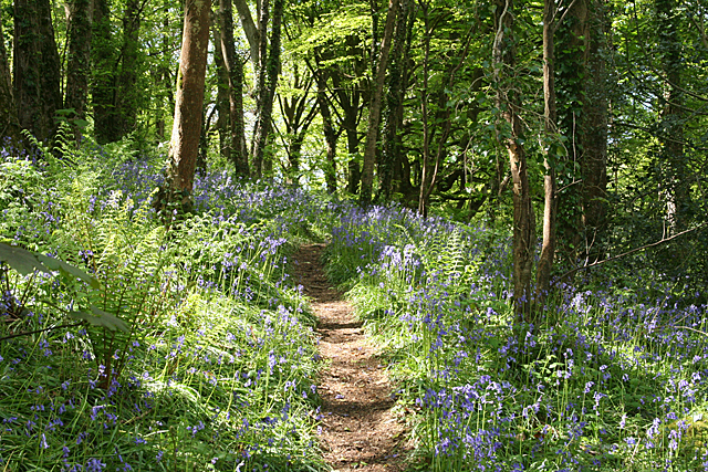
Image: © Martin Bodman Taken: 16 May 2012
Bluebell wood. The steeper of two public footpaths zig-zags to the summit of the hill
Images are licensed for reuse under creativecommons.org/licenses/by-sa/2.0
Image Location


Leaflet Map data © OpenStreetMap
Latitude
50.306697
Longitude
-4.042512