Footpath junction on Water Lane
Introduction
The photograph on this page of Footpath junction on Water Lane by David Anstiss as part of the Geograph project.
The Geograph project started in 2005 with the aim of publishing, organising and preserving representative images for every square kilometre of Great Britain, Ireland and the Isle of Man.

There are currently over 7.5m images from over 14,400 individuals and you can help contribute to the project by visiting https://www.geograph.org.uk
Footpath junction on Water Lane
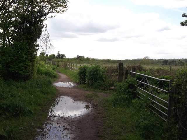
Image: © David Anstiss Taken: 16 May 2012
Water Lane is a track leading from Brewer Street Farm towards Pendell. It crosses another footpath heading right along a field edge towards Quarry Hangers (part of the North Downs).
Images are licensed for reuse under creativecommons.org/licenses/by-sa/2.0
Image Location


Leaflet Map data © OpenStreetMap
Latitude
51.25218
Longitude
-0.110653