Orchard View, Lea
Introduction
The photograph on this page of Orchard View, Lea by Jonathan Billinger as part of the Geograph project.
The Geograph project started in 2005 with the aim of publishing, organising and preserving representative images for every square kilometre of Great Britain, Ireland and the Isle of Man.

There are currently over 7.5m images from over 14,400 individuals and you can help contribute to the project by visiting https://www.geograph.org.uk
Orchard View, Lea
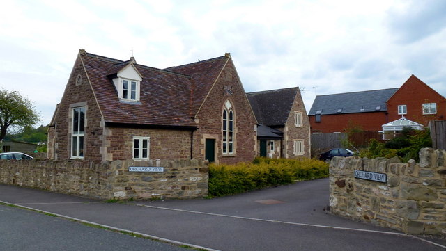
Image: © Jonathan Billinger Taken: 17 May 2012
New housing development to the rear of the old primary school. The name of the cul-de-sac is now obsolete as the apple orchard opposite was grubbed not long after the houses were built.
Images are licensed for reuse under creativecommons.org/licenses/by-sa/2.0
Image Location
Latitude
51.893236
Longitude
-2.500276