Approaching Butts Bridge, Alton
Introduction
The photograph on this page of Approaching Butts Bridge, Alton by David Howard as part of the Geograph project.
The Geograph project started in 2005 with the aim of publishing, organising and preserving representative images for every square kilometre of Great Britain, Ireland and the Isle of Man.

There are currently over 7.5m images from over 14,400 individuals and you can help contribute to the project by visiting https://www.geograph.org.uk
Approaching Butts Bridge, Alton
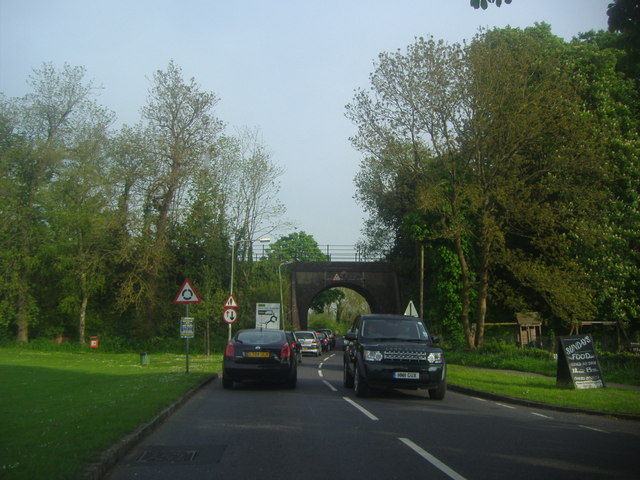
Image: © David Howard Taken: 21 May 2012
Butts Bridge is on the Mid-Hants Railway or Watercress Line, linking the end of the official railway in Alton with Alresford, opening in the main tourist seasons and occasional special event days.
Images are licensed for reuse under creativecommons.org/licenses/by-sa/2.0
Image Location
Latitude
51.140909
Longitude
-0.984628