Drainage Ditch
Introduction
The photograph on this page of Drainage Ditch by Anne Burgess as part of the Geograph project.
The Geograph project started in 2005 with the aim of publishing, organising and preserving representative images for every square kilometre of Great Britain, Ireland and the Isle of Man.

There are currently over 7.5m images from over 14,400 individuals and you can help contribute to the project by visiting https://www.geograph.org.uk
Drainage Ditch
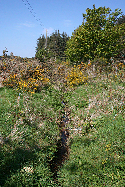
Image: © Anne Burgess Taken: 21 May 2012
The ditch here is fairly overgrown and will probably be nearly invisible in a few weeks' time. Taken from where the private road to Springburn crosses the ditch.
Images are licensed for reuse under creativecommons.org/licenses/by-sa/2.0
Image Location


Leaflet Map data © OpenStreetMap
Latitude
57.617492
Longitude
-3.362445