Arable land, Bankhead of Balcurvie
Introduction
The photograph on this page of Arable land, Bankhead of Balcurvie by Richard Webb as part of the Geograph project.
The Geograph project started in 2005 with the aim of publishing, organising and preserving representative images for every square kilometre of Great Britain, Ireland and the Isle of Man.

There are currently over 7.5m images from over 14,400 individuals and you can help contribute to the project by visiting https://www.geograph.org.uk
Arable land, Bankhead of Balcurvie
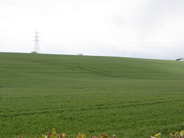
Image: © Richard Webb Taken: 15 May 2012
A south facing slope above the Leven.
Images are licensed for reuse under creativecommons.org/licenses/by-sa/2.0
Image Location
Latitude
56.194559
Longitude
-3.078866