Rowan Park: Remains of Rowan High School
Introduction
The photograph on this page of Rowan Park: Remains of Rowan High School by Dr Neil Clifton as part of the Geograph project.
The Geograph project started in 2005 with the aim of publishing, organising and preserving representative images for every square kilometre of Great Britain, Ireland and the Isle of Man.

There are currently over 7.5m images from over 14,400 individuals and you can help contribute to the project by visiting https://www.geograph.org.uk
Rowan Park: Remains of Rowan High School
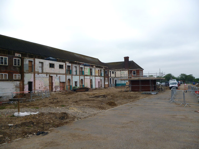
Image: © Dr Neil Clifton Taken: 21 May 2012
This large school is being demolished, and housing is being built on its site.
Images are licensed for reuse under creativecommons.org/licenses/by-sa/2.0
Image Location
Latitude
51.405988
Longitude
-0.140698