Path up the Rholben in May
Introduction
The photograph on this page of Path up the Rholben in May by Jeremy Bolwell as part of the Geograph project.
The Geograph project started in 2005 with the aim of publishing, organising and preserving representative images for every square kilometre of Great Britain, Ireland and the Isle of Man.

There are currently over 7.5m images from over 14,400 individuals and you can help contribute to the project by visiting https://www.geograph.org.uk
Path up the Rholben in May
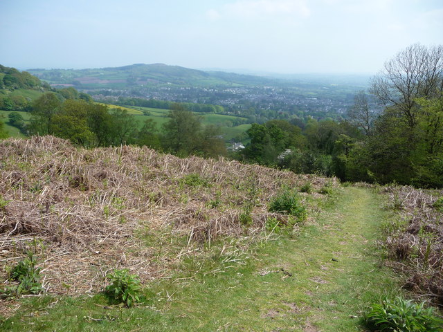
Image: © Jeremy Bolwell Taken: 21 May 2012
With a decent view of Abergavenny laid out below. The 'new look' Little Skirrid / Ysgyryd Fach shorn of its forestry looks great.
Images are licensed for reuse under creativecommons.org/licenses/by-sa/2.0
Image Location
Latitude
51.840458
Longitude
-3.036886