The Bridge at Barkston
Introduction
The photograph on this page of The Bridge at Barkston by Glyn Baker as part of the Geograph project.
The Geograph project started in 2005 with the aim of publishing, organising and preserving representative images for every square kilometre of Great Britain, Ireland and the Isle of Man.

There are currently over 7.5m images from over 14,400 individuals and you can help contribute to the project by visiting https://www.geograph.org.uk
The Bridge at Barkston
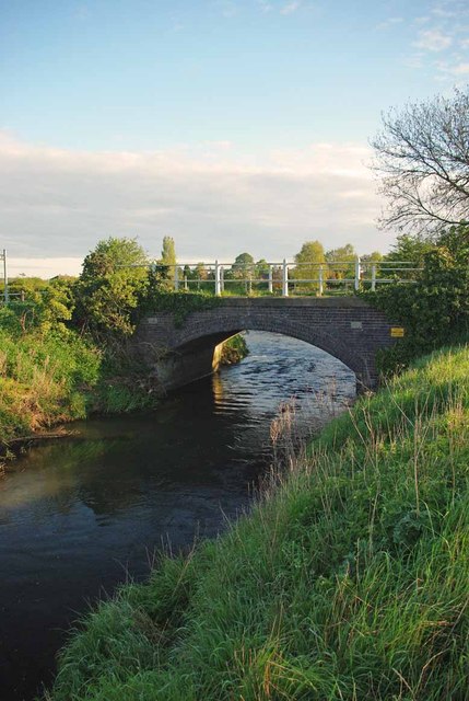
Image: © Glyn Baker Taken: 13 May 2012
The picture was taken looking upstream from the Council picnic area beside the River Witham.
Images are licensed for reuse under creativecommons.org/licenses/by-sa/2.0
Image Location
Latitude
52.96194
Longitude
-0.619125