Burnham Road junction with The Endway
Introduction
The photograph on this page of Burnham Road junction with The Endway by Roger Jones as part of the Geograph project.
The Geograph project started in 2005 with the aim of publishing, organising and preserving representative images for every square kilometre of Great Britain, Ireland and the Isle of Man.

There are currently over 7.5m images from over 14,400 individuals and you can help contribute to the project by visiting https://www.geograph.org.uk
Burnham Road junction with The Endway
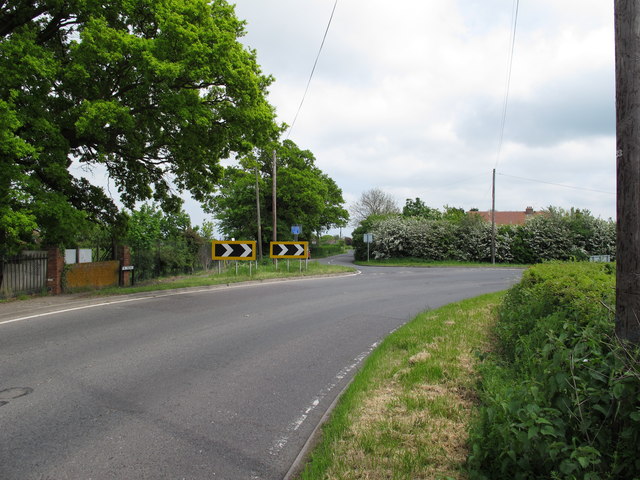
Image: © Roger Jones Taken: 20 May 2012
As the B1010 Burnham Road veers to the right, The Endway provides a secondary route to Southminster.
Images are licensed for reuse under creativecommons.org/licenses/by-sa/2.0
Image Location
Latitude
51.65543
Longitude
0.771681