West end of Rugby Road
Introduction
The photograph on this page of West end of Rugby Road by Robin Stott as part of the Geograph project.
The Geograph project started in 2005 with the aim of publishing, organising and preserving representative images for every square kilometre of Great Britain, Ireland and the Isle of Man.

There are currently over 7.5m images from over 14,400 individuals and you can help contribute to the project by visiting https://www.geograph.org.uk
West end of Rugby Road
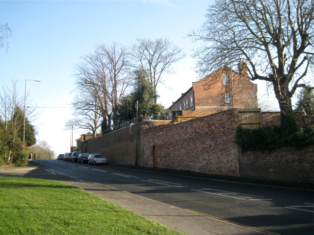
Image: © Robin Stott Taken: 15 Jan 2012
A closer look at the scene in Image emphasises the steepness of the slope and the massive retaining walls supporting private property. It rather looks as though this route developed after Emscote or Portobello Bridge was built across the Avon in the early 1820s, forming the "back road to Lillington" from Warwick shown on some maps. The parallel Warwick New Road and Warwick Place, laid out at the same time as the bridge, have much gentler gradients, easier for horse-drawn traffic.
Images are licensed for reuse under creativecommons.org/licenses/by-sa/2.0
Image Location
Latitude
52.290042
Longitude
-1.556604