Cycle path at Cornton Road
Introduction
The photograph on this page of Cycle path at Cornton Road by Alec MacKinnon as part of the Geograph project.
The Geograph project started in 2005 with the aim of publishing, organising and preserving representative images for every square kilometre of Great Britain, Ireland and the Isle of Man.

There are currently over 7.5m images from over 14,400 individuals and you can help contribute to the project by visiting https://www.geograph.org.uk
Cycle path at Cornton Road
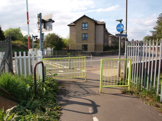
Image: © Alec MacKinnon Taken: 20 May 2012
The cycle/foot path from Causewayhead towards Bridge of Allan meets Cornton Road at its north end here, just next a level crossing.
Images are licensed for reuse under creativecommons.org/licenses/by-sa/2.0
Image Location
Latitude
56.143494
Longitude
-3.947063