Rookery at the Vicarage
Introduction
The photograph on this page of Rookery at the Vicarage by Robert Graham as part of the Geograph project.
The Geograph project started in 2005 with the aim of publishing, organising and preserving representative images for every square kilometre of Great Britain, Ireland and the Isle of Man.

There are currently over 7.5m images from over 14,400 individuals and you can help contribute to the project by visiting https://www.geograph.org.uk
Rookery at the Vicarage
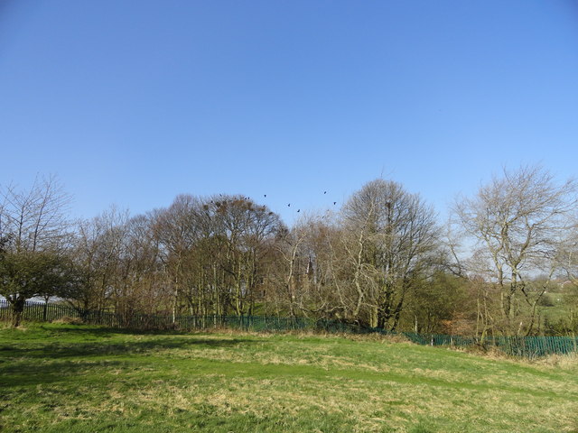
Image: © Robert Graham Taken: 27 Mar 2012
Rookery at Marley Hill. Although most rookeries are of long standing, this one isn't. The birds established it only about 10 years ago, I believe.
Images are licensed for reuse under creativecommons.org/licenses/by-sa/2.0
Image Location
Latitude
54.919163
Longitude
-1.682491