Tandridge Border Path in Furzefield Wood
Introduction
The photograph on this page of Tandridge Border Path in Furzefield Wood by David Anstiss as part of the Geograph project.
The Geograph project started in 2005 with the aim of publishing, organising and preserving representative images for every square kilometre of Great Britain, Ireland and the Isle of Man.

There are currently over 7.5m images from over 14,400 individuals and you can help contribute to the project by visiting https://www.geograph.org.uk
Tandridge Border Path in Furzefield Wood
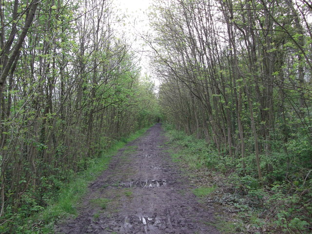
Image: © David Anstiss Taken: 16 May 2012
This footpath leads from Image, along the top of a earthbund around Merstham, before leading through the remains of Furzefield Wood, which also has the M25 running through it. This can be heard on the left. The border path leads towards Bletchingley Road.
Images are licensed for reuse under creativecommons.org/licenses/by-sa/2.0
Image Location
Latitude
51.2643
Longitude
-0.137391