Bryn-Meirig steading
Introduction
The photograph on this page of Bryn-Meirig steading by John Haynes as part of the Geograph project.
The Geograph project started in 2005 with the aim of publishing, organising and preserving representative images for every square kilometre of Great Britain, Ireland and the Isle of Man.

There are currently over 7.5m images from over 14,400 individuals and you can help contribute to the project by visiting https://www.geograph.org.uk
Bryn-Meirig steading
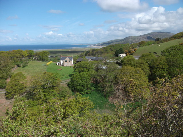
Image: © John Haynes Taken: 16 May 2012
Looking across from the path up to the Golwen slate quarry the house and steading at Bryn-Meirig, with the mix of old and new buildings, looks out towards the sea.
Images are licensed for reuse under creativecommons.org/licenses/by-sa/2.0
Image Location
Latitude
52.692826
Longitude
-4.0429