Lewes Road, Halland
Introduction
The photograph on this page of Lewes Road, Halland by Simon Carey as part of the Geograph project.
The Geograph project started in 2005 with the aim of publishing, organising and preserving representative images for every square kilometre of Great Britain, Ireland and the Isle of Man.

There are currently over 7.5m images from over 14,400 individuals and you can help contribute to the project by visiting https://www.geograph.org.uk
Lewes Road, Halland
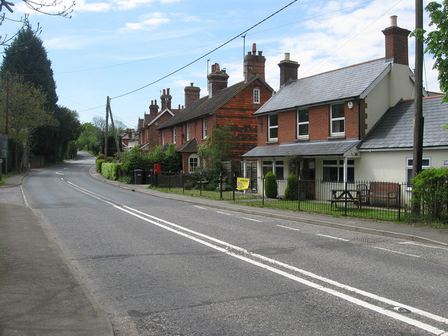
Image: © Simon Carey Taken: 13 May 2012
Looking along the B2192 as it heads southwards through the hamlet of Halland. Acacia Cottage on the right is the former post office whilst beyond are Hall's Cottages which were built towards the end of the 19th century along with much of the western side of the road. The hamlet originally grew up around a couple of farms located at a crossroads which is now the A22/B2192 junction and for many years was known as The Nursery after the main local industry until the GPO requested a name change to avoid confusion in deliveries and the locals settled on the name of the former nearby mansion.
Images are licensed for reuse under creativecommons.org/licenses/by-sa/2.0
Image Location
Latitude
50.928515
Longitude
0.134774