Thornhill Road track - approaching the Vanguard Way route
Introduction
The photograph on this page of Thornhill Road track - approaching the Vanguard Way route by Ed of the South as part of the Geograph project.
The Geograph project started in 2005 with the aim of publishing, organising and preserving representative images for every square kilometre of Great Britain, Ireland and the Isle of Man.

There are currently over 7.5m images from over 14,400 individuals and you can help contribute to the project by visiting https://www.geograph.org.uk
Thornhill Road track - approaching the Vanguard Way route
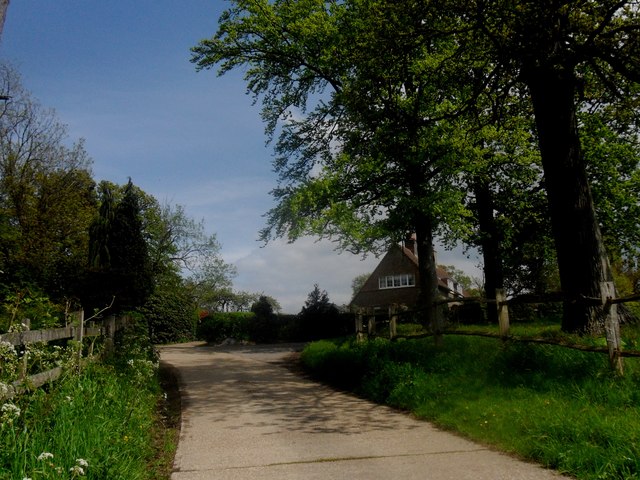
Image: © Ed of the South Taken: 19 May 2012
Eastward facing view along a track (Thornhill Road) about to reach a Y-junction with the Vanguard Way route.
Images are licensed for reuse under creativecommons.org/licenses/by-sa/2.0
Image Location
Latitude
51.112659
Longitude
0.041524