Viaduct Street, E2
Introduction
The photograph on this page of Viaduct Street, E2 by Christopher Hilton as part of the Geograph project.
The Geograph project started in 2005 with the aim of publishing, organising and preserving representative images for every square kilometre of Great Britain, Ireland and the Isle of Man.

There are currently over 7.5m images from over 14,400 individuals and you can help contribute to the project by visiting https://www.geograph.org.uk
Viaduct Street, E2
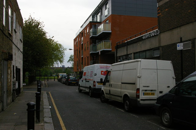
Image: © Christopher Hilton Taken: 18 May 2012
Before the expansion of Weavers Fields park, Viaduct Street ran all the way from Bethnal Green Road down to the railway, past the church of St Andrew (Viaduct Street), now demolished. The view would presumably have been something like the adjacent Wilmot Street (Image). Only this little stub remains at its northern end.
Images are licensed for reuse under creativecommons.org/licenses/by-sa/2.0
Image Location
Latitude
51.526272
Longitude
-0.060693