Wilmot Street, E2
Introduction
The photograph on this page of Wilmot Street, E2 by Christopher Hilton as part of the Geograph project.
The Geograph project started in 2005 with the aim of publishing, organising and preserving representative images for every square kilometre of Great Britain, Ireland and the Isle of Man.

There are currently over 7.5m images from over 14,400 individuals and you can help contribute to the project by visiting https://www.geograph.org.uk
Wilmot Street, E2
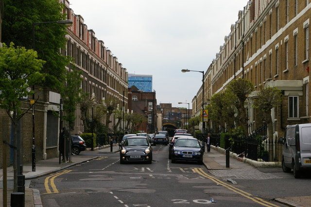
Image: © Christopher Hilton Taken: 18 May 2012
Long terraces lead from Bethnal Green Road to the railway viaduct. Before the expansion of Weavers Fields park to the west, several other similar streets would have run parallel to this.
Images are licensed for reuse under creativecommons.org/licenses/by-sa/2.0
Image Location
Latitude
51.526159
Longitude
-0.059256