Furze Field
Introduction
The photograph on this page of Furze Field by Simon Carey as part of the Geograph project.
The Geograph project started in 2005 with the aim of publishing, organising and preserving representative images for every square kilometre of Great Britain, Ireland and the Isle of Man.

There are currently over 7.5m images from over 14,400 individuals and you can help contribute to the project by visiting https://www.geograph.org.uk
Furze Field
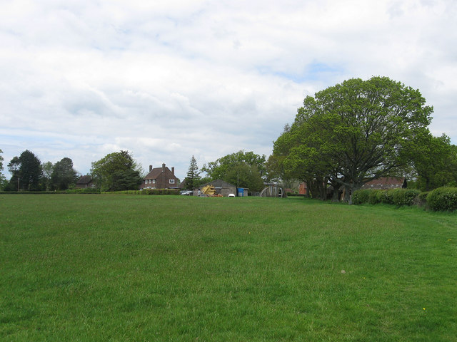
Image: © Simon Carey Taken: 13 May 2012
The name of the field according to East Hoathly's 1839 tithe map that was once part of Halland Park until it reverted back to farmland towards the end of the 18th century. Hartfield Farm lies at the far end and appears to be the third farmhouse of that name replacing Image which lies beyond the crossroads and Image which is located a little further to the north on Lewes Road. The old Nissen Hut may well be a survivor from the days when the area to its right was a nursery before the current farmhouse was built. The field itself has been extended to include Image to the south.
Images are licensed for reuse under creativecommons.org/licenses/by-sa/2.0
Image Location
Latitude
50.926382
Longitude
0.133396