The Poyntzpass Road near Loughbrickland
Introduction
The photograph on this page of The Poyntzpass Road near Loughbrickland by Albert Bridge as part of the Geograph project.
The Geograph project started in 2005 with the aim of publishing, organising and preserving representative images for every square kilometre of Great Britain, Ireland and the Isle of Man.

There are currently over 7.5m images from over 14,400 individuals and you can help contribute to the project by visiting https://www.geograph.org.uk
The Poyntzpass Road near Loughbrickland
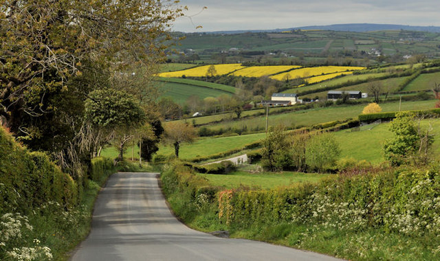
Image: © Albert Bridge Taken: 19 May 2012
Part of a twisting undulating unclassified road running through the drumlins between Cos Down and Armagh. Previously seen in Image (November 2008).
Images are licensed for reuse under creativecommons.org/licenses/by-sa/2.0
Image Location
Latitude
54.310737
Longitude
-6.326494