Moat Wood
Introduction
The photograph on this page of Moat Wood by Simon Carey as part of the Geograph project.
The Geograph project started in 2005 with the aim of publishing, organising and preserving representative images for every square kilometre of Great Britain, Ireland and the Isle of Man.

There are currently over 7.5m images from over 14,400 individuals and you can help contribute to the project by visiting https://www.geograph.org.uk
Moat Wood
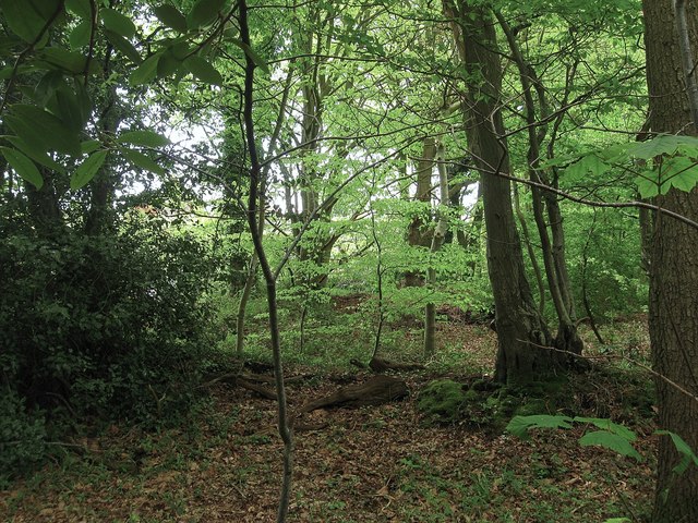
Image: © Simon Carey Taken: 13 May 2012
A fragment of the wood that lies between the old route of South Street and its new junction with the A22. An old woodbank lies in the foreground.
Images are licensed for reuse under creativecommons.org/licenses/by-sa/2.0
Image Location
Latitude
50.920097
Longitude
0.157297