Campsite at Britchcombe Farm
Introduction
The photograph on this page of Campsite at Britchcombe Farm by Des Blenkinsopp as part of the Geograph project.
The Geograph project started in 2005 with the aim of publishing, organising and preserving representative images for every square kilometre of Great Britain, Ireland and the Isle of Man.

There are currently over 7.5m images from over 14,400 individuals and you can help contribute to the project by visiting https://www.geograph.org.uk
Campsite at Britchcombe Farm
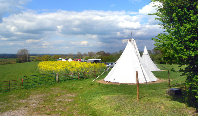
Image: © Des Blenkinsopp Taken: 12 May 2012
Britchcombe Farm capitalizes on its position below the much visited Whitehorse Hill by providing camping facilities and nice cream teas.
Images are licensed for reuse under creativecommons.org/licenses/by-sa/2.0
Image Location
Latitude
51.583365
Longitude
-1.557739