East Parkside
Introduction
The photograph on this page of East Parkside by Stephen Craven as part of the Geograph project.
The Geograph project started in 2005 with the aim of publishing, organising and preserving representative images for every square kilometre of Great Britain, Ireland and the Isle of Man.

There are currently over 7.5m images from over 14,400 individuals and you can help contribute to the project by visiting https://www.geograph.org.uk
East Parkside
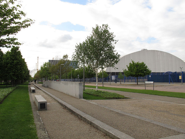
Image: © Stephen Craven Taken: 16 May 2012
One of the spine roads of the Greenwich Millennium Village development, with a protected green space on the left (west) side and business and residential developments to the east. It has been built to Continental standards with vehicle lanes, cycle path and footway each separated by strips of greenery.
Images are licensed for reuse under creativecommons.org/licenses/by-sa/2.0
Image Location
Latitude
51.49712
Longitude
0.009673