St Paul's Church Centre, Marylebone
Introduction
The photograph on this page of St Paul's Church Centre, Marylebone by Jaggery as part of the Geograph project.
The Geograph project started in 2005 with the aim of publishing, organising and preserving representative images for every square kilometre of Great Britain, Ireland and the Isle of Man.

There are currently over 7.5m images from over 14,400 individuals and you can help contribute to the project by visiting https://www.geograph.org.uk
St Paul's Church Centre, Marylebone
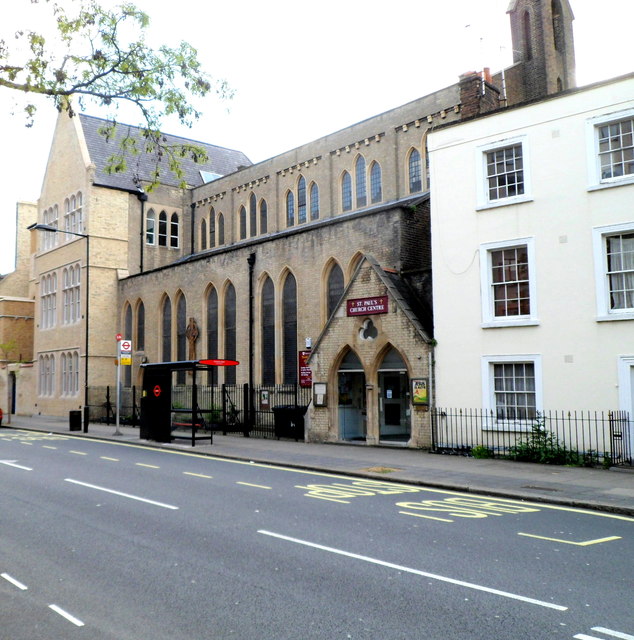
Image: © Jaggery Taken: 12 May 2012
Located in Rossmore Road. The centre is both the Anglican Parish Church of North Marylebone and a community centre for a diverse local community.
Images are licensed for reuse under creativecommons.org/licenses/by-sa/2.0
Image Location
Latitude
51.524376
Longitude
-0.16644