Mansford Street, E2: Unitarian Chapel and Manse
Introduction
The photograph on this page of Mansford Street, E2: Unitarian Chapel and Manse by Christopher Hilton as part of the Geograph project.
The Geograph project started in 2005 with the aim of publishing, organising and preserving representative images for every square kilometre of Great Britain, Ireland and the Isle of Man.

There are currently over 7.5m images from over 14,400 individuals and you can help contribute to the project by visiting https://www.geograph.org.uk
Mansford Street, E2: Unitarian Chapel and Manse
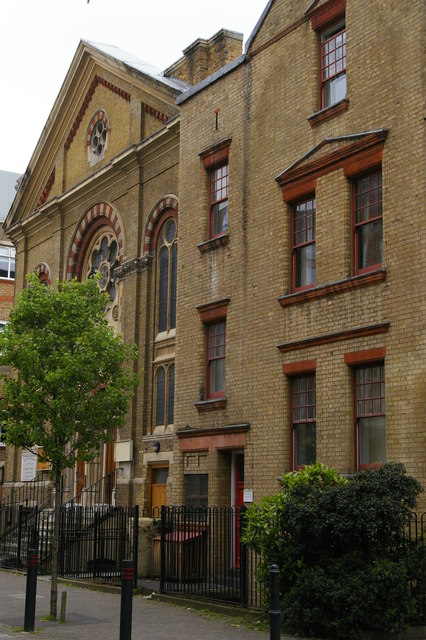
Image: © Christopher Hilton Taken: 18 May 2012
The Unitarian Chapel dates from 1880. It and the former manse are now occupied by the Chalice Foundation, a Unitarian body that focuses on social action and charity. For the same view in 1988, see Image
Images are licensed for reuse under creativecommons.org/licenses/by-sa/2.0
Image Location
Latitude
51.528365
Longitude
-0.06219