Towards Gashouse Plantation
Introduction
The photograph on this page of Towards Gashouse Plantation by Glyn Baker as part of the Geograph project.
The Geograph project started in 2005 with the aim of publishing, organising and preserving representative images for every square kilometre of Great Britain, Ireland and the Isle of Man.

There are currently over 7.5m images from over 14,400 individuals and you can help contribute to the project by visiting https://www.geograph.org.uk
Towards Gashouse Plantation
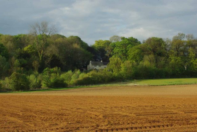
Image: © Glyn Baker Taken: 12 May 2012
Rich red soil of Lincolnshire made more vivid by evening light. Apart from resizing the picture was not retouched in any way.
Images are licensed for reuse under creativecommons.org/licenses/by-sa/2.0
Image Location
Latitude
52.952701
Longitude
-0.597836