Dwellings in Castlegate Mews
Introduction
The photograph on this page of Dwellings in Castlegate Mews by Robin Stott as part of the Geograph project.
The Geograph project started in 2005 with the aim of publishing, organising and preserving representative images for every square kilometre of Great Britain, Ireland and the Isle of Man.

There are currently over 7.5m images from over 14,400 individuals and you can help contribute to the project by visiting https://www.geograph.org.uk
Dwellings in Castlegate Mews
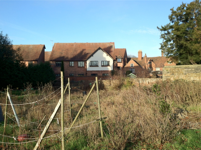
Image: © Robin Stott Taken: 8 Jan 2012
The mews is a late 20th-century development off St Nicholas Church Street. The view is across untidy plots of St John's Allotments. On the right is the yew tree in the corner of St John's House garden.
Images are licensed for reuse under creativecommons.org/licenses/by-sa/2.0
Image Location


Leaflet Map data © OpenStreetMap
Latitude
52.28285
Longitude
-1.581303