Coventry-School House Lane
Introduction
The photograph on this page of Coventry-School House Lane by Ian Rob as part of the Geograph project.
The Geograph project started in 2005 with the aim of publishing, organising and preserving representative images for every square kilometre of Great Britain, Ireland and the Isle of Man.

There are currently over 7.5m images from over 14,400 individuals and you can help contribute to the project by visiting https://www.geograph.org.uk
Coventry-School House Lane
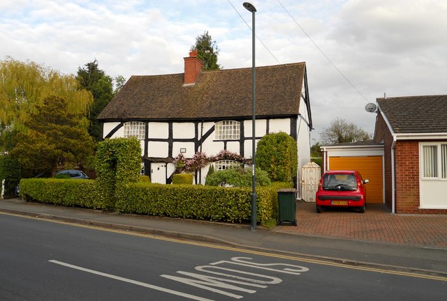
Image: © Ian Rob Taken: 16 May 2012
Cottage in an area of predominately modern housing.
Images are licensed for reuse under creativecommons.org/licenses/by-sa/2.0
Image Location
Latitude
52.423692
Longitude
-1.44218