Nottingham - NG6 (Bestwood)
Introduction
The photograph on this page of Nottingham - NG6 (Bestwood) by David Hallam-Jones as part of the Geograph project.
The Geograph project started in 2005 with the aim of publishing, organising and preserving representative images for every square kilometre of Great Britain, Ireland and the Isle of Man.

There are currently over 7.5m images from over 14,400 individuals and you can help contribute to the project by visiting https://www.geograph.org.uk
Nottingham - NG6 (Bestwood)
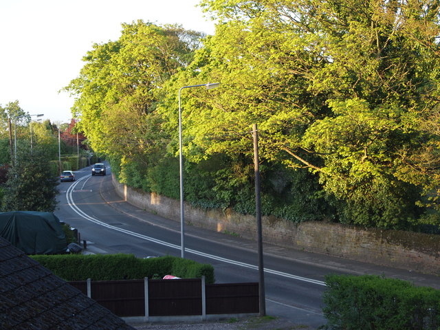
Image: © David Hallam-Jones Taken: 16 May 2012
A stretch of Moor Road (B683) just before it is becomes Bestwood Road (a.k.a. the B683) taken from halfway up a set of steps. The steps take a pavement-level footpath up an embankment to join a nature trail that follows the route of a former railway line.
Images are licensed for reuse under creativecommons.org/licenses/by-sa/2.0
Image Location
Latitude
53.021541
Longitude
-1.183451