Nottingham - NG6 (Bestwood)
Introduction
The photograph on this page of Nottingham - NG6 (Bestwood) by David Hallam-Jones as part of the Geograph project.
The Geograph project started in 2005 with the aim of publishing, organising and preserving representative images for every square kilometre of Great Britain, Ireland and the Isle of Man.
There are currently over 7.5m images from over 14,400 individuals and you can help contribute to the project by visiting https://www.geograph.org.uk

Image: © David Hallam-Jones Taken: 16 May 2012
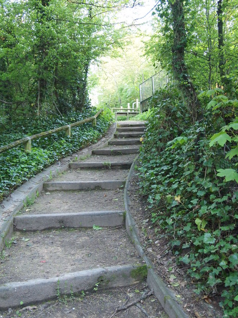
This set of steps connects the pavement alongside Moor Lane (B683) with a public footpath that follows a former railway line. At the top of these steps a wide metal footbridge has been installed to allow walkers and cyclists to cross the (B683) at embankment-top level and thereby to join the Robin Hood Trail hereabouts, should they so wish to.

