Twll-yn-y-Wal Park, Margam, Port Talbot
Introduction
The photograph on this page of Twll-yn-y-Wal Park, Margam, Port Talbot by Jaggery as part of the Geograph project.
The Geograph project started in 2005 with the aim of publishing, organising and preserving representative images for every square kilometre of Great Britain, Ireland and the Isle of Man.

There are currently over 7.5m images from over 14,400 individuals and you can help contribute to the project by visiting https://www.geograph.org.uk
Twll-yn-y-Wal Park, Margam, Port Talbot
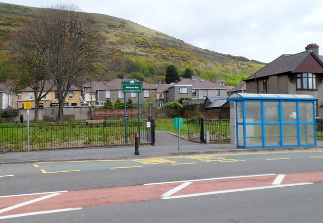
Image: © Jaggery Taken: 19 Apr 2012
This small (35 metres by 30 metres) area of greenery is alongside Margam Road (the A48). The park's name is Welsh for Hole-in-the-wall.
Images are licensed for reuse under creativecommons.org/licenses/by-sa/2.0
Image Location
Latitude
51.576765
Longitude
-3.759081