West Lyham Farm
Introduction
The photograph on this page of West Lyham Farm by Graham Robson as part of the Geograph project.
The Geograph project started in 2005 with the aim of publishing, organising and preserving representative images for every square kilometre of Great Britain, Ireland and the Isle of Man.

There are currently over 7.5m images from over 14,400 individuals and you can help contribute to the project by visiting https://www.geograph.org.uk
West Lyham Farm
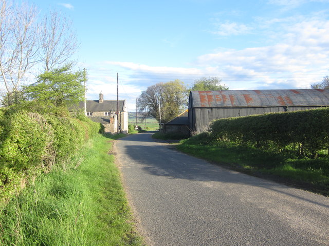
Image: © Graham Robson Taken: 12 May 2012
A short row of cottages can be seen on the left of the road whilst a small range of farm buildings are located on the right side of the road. In the centre of the image is a phone box which given its remote location must be very rarely used if at all.
Images are licensed for reuse under creativecommons.org/licenses/by-sa/2.0
Image Location
Latitude
55.567512
Longitude
-1.912126