Southern boundary of Burnt Tree, West Midlands
Introduction
The photograph on this page of Southern boundary of Burnt Tree, West Midlands by Jaggery as part of the Geograph project.
The Geograph project started in 2005 with the aim of publishing, organising and preserving representative images for every square kilometre of Great Britain, Ireland and the Isle of Man.

There are currently over 7.5m images from over 14,400 individuals and you can help contribute to the project by visiting https://www.geograph.org.uk
Southern boundary of Burnt Tree, West Midlands
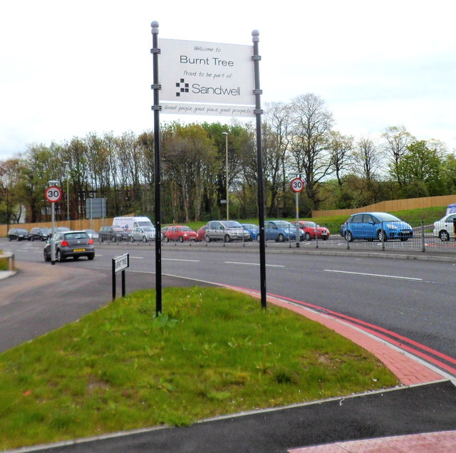
Image: © Jaggery Taken: 5 May 2012
Viewed along the A461, here named Burnt Tree. The Burnt Tree boundary sign is alongside a Toby Carvery. http://www.geograph.org.uk/photo/2948668 Burnt Tree is a district of Sandwell Metropolitan Borough.
Images are licensed for reuse under creativecommons.org/licenses/by-sa/2.0
Image Location
Latitude
52.51417
Longitude
-2.063319