Thruscross Reservoir
Introduction
The photograph on this page of Thruscross Reservoir by Mick Melvin as part of the Geograph project.
The Geograph project started in 2005 with the aim of publishing, organising and preserving representative images for every square kilometre of Great Britain, Ireland and the Isle of Man.

There are currently over 7.5m images from over 14,400 individuals and you can help contribute to the project by visiting https://www.geograph.org.uk
Thruscross Reservoir
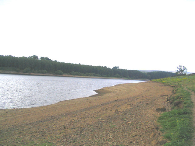
Image: © Mick Melvin Taken: 22 Jul 2005
The Name Thruscross derives from the name of the Norse God Thor, prior to the reservoir being completed in 1966 almost the whole of the village of West End was demolished, I remember a hiking trip to the deserted village in the early sixties when all the buildings where stood empty with every window and door frame removed prior to demolition.
Images are licensed for reuse under creativecommons.org/licenses/by-sa/2.0
Image Location


Leaflet Map data © OpenStreetMap
Latitude
54.022271
Longitude
-1.764909