Drumgooland House
Introduction
The photograph on this page of Drumgooland House by henry as part of the Geograph project.
The Geograph project started in 2005 with the aim of publishing, organising and preserving representative images for every square kilometre of Great Britain, Ireland and the Isle of Man.

There are currently over 7.5m images from over 14,400 individuals and you can help contribute to the project by visiting https://www.geograph.org.uk
Drumgooland House
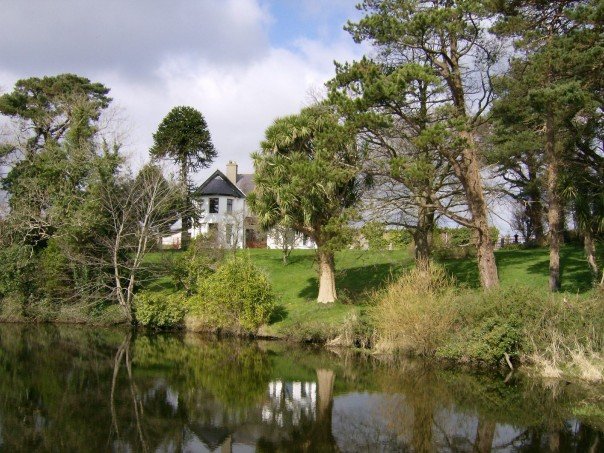
Image: © henry Taken: 17 May 2012
Edwardian country house and historical gardens with mature subtropical planting and a former millpond acting as an ornamental lake and waterfall.
Images are licensed for reuse under creativecommons.org/licenses/by-sa/2.0
Image Location
Latitude
54.32204
Longitude
-5.824337