Footpath between Cranes Park and Berryfield Roads
Introduction
The photograph on this page of Footpath between Cranes Park and Berryfield Roads by Christine Johnstone as part of the Geograph project.
The Geograph project started in 2005 with the aim of publishing, organising and preserving representative images for every square kilometre of Great Britain, Ireland and the Isle of Man.

There are currently over 7.5m images from over 14,400 individuals and you can help contribute to the project by visiting https://www.geograph.org.uk
Footpath between Cranes Park and Berryfield Roads
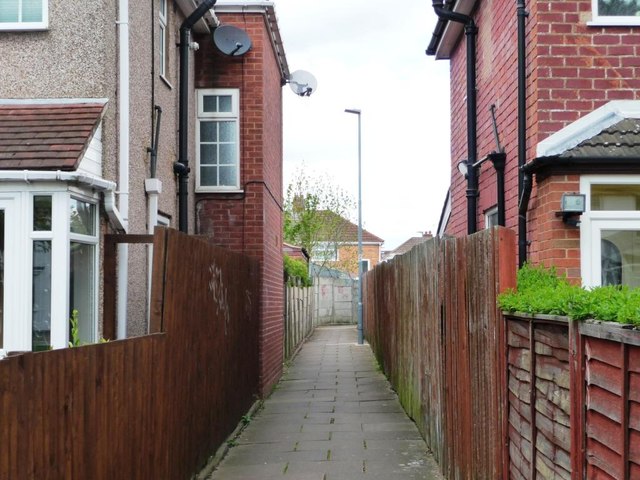
Image: © Christine Johnstone Taken: 16 May 2012
Locals call this a gulley. I've also hear jitty, ginnel and snicket elsewhere but most people understand 'alley'.
Images are licensed for reuse under creativecommons.org/licenses/by-sa/2.0
Image Location
Latitude
52.457597
Longitude
-1.769935