Waterlogged field, east of Brick Bank Lane
Introduction
The photograph on this page of Waterlogged field, east of Brick Bank Lane by Christine Johnstone as part of the Geograph project.
The Geograph project started in 2005 with the aim of publishing, organising and preserving representative images for every square kilometre of Great Britain, Ireland and the Isle of Man.

There are currently over 7.5m images from over 14,400 individuals and you can help contribute to the project by visiting https://www.geograph.org.uk
Waterlogged field, east of Brick Bank Lane
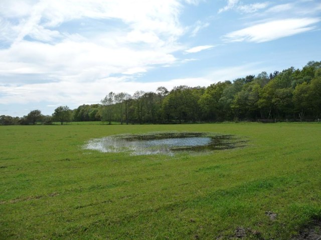
Image: © Christine Johnstone Taken: 13 May 2012
An unusual sight here, proof of the recent heavy and prolonged rain.
Images are licensed for reuse under creativecommons.org/licenses/by-sa/2.0
Image Location
Latitude
53.230982
Longitude
-2.363686