Lane behind Tamworth Farm Allotments
Introduction
The photograph on this page of Lane behind Tamworth Farm Allotments by Marathon as part of the Geograph project.
The Geograph project started in 2005 with the aim of publishing, organising and preserving representative images for every square kilometre of Great Britain, Ireland and the Isle of Man.

There are currently over 7.5m images from over 14,400 individuals and you can help contribute to the project by visiting https://www.geograph.org.uk
Lane behind Tamworth Farm Allotments
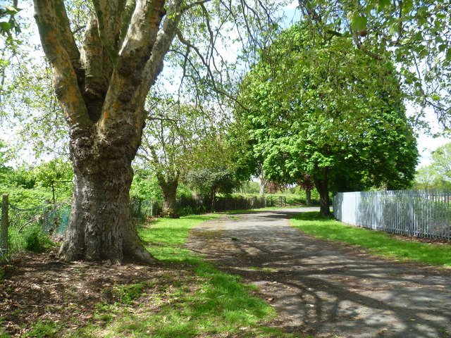
Image: © Marathon Taken: 16 May 2012
This lane runs in a semi-circle around Tamworth Farm Allotments, to and from London Road, Mitcham. The allotments are to the right here whereas to the left are what appear to be former allotments which are now very overgrown and attract some rubbish dumping. There seems to be no vehicle access to the lane.
Images are licensed for reuse under creativecommons.org/licenses/by-sa/2.0
Image Location
Latitude
51.414275
Longitude
-0.164377