Nottingham - NG5 (Bestwood)
Introduction
The photograph on this page of Nottingham - NG5 (Bestwood) by David Hallam-Jones as part of the Geograph project.
The Geograph project started in 2005 with the aim of publishing, organising and preserving representative images for every square kilometre of Great Britain, Ireland and the Isle of Man.

There are currently over 7.5m images from over 14,400 individuals and you can help contribute to the project by visiting https://www.geograph.org.uk
Nottingham - NG5 (Bestwood)
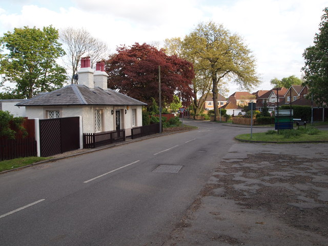
Image: © David Hallam-Jones Taken: 16 May 2012
"The Old Lodge" at the side of the drive leading to The Bestwood Lodge Hotel, Bestwood Country Park and the Fire Service Headquarters is a private residence. This photograph was taken looking in the direction of the Bestwood Park Estate and Oxclose Lane (B6004). Behind the former lodge arable farmland is to be found situated in the Gedling Borough Council administrative jurisdiction.
Images are licensed for reuse under creativecommons.org/licenses/by-sa/2.0
Image Location
Latitude
53.010515
Longitude
-1.149379