Cottesmore House on former RAF West Ruislip site
Introduction
The photograph on this page of Cottesmore House on former RAF West Ruislip site by Ian Harrison as part of the Geograph project.
The Geograph project started in 2005 with the aim of publishing, organising and preserving representative images for every square kilometre of Great Britain, Ireland and the Isle of Man.

There are currently over 7.5m images from over 14,400 individuals and you can help contribute to the project by visiting https://www.geograph.org.uk
Cottesmore House on former RAF West Ruislip site
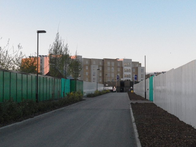
Image: © Ian Harrison Taken: 11 May 2012
The newly built Cottesmore House on the site of the former RAF West Ruislip.
Images are licensed for reuse under creativecommons.org/licenses/by-sa/2.0
Image Location
Latitude
51.568682
Longitude
-0.438093