Pylons and power lines near Straid
Introduction
The photograph on this page of Pylons and power lines near Straid by Albert Bridge as part of the Geograph project.
The Geograph project started in 2005 with the aim of publishing, organising and preserving representative images for every square kilometre of Great Britain, Ireland and the Isle of Man.

There are currently over 7.5m images from over 14,400 individuals and you can help contribute to the project by visiting https://www.geograph.org.uk
Pylons and power lines near Straid
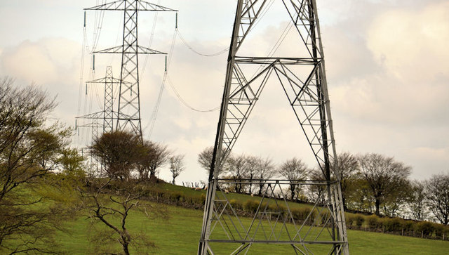
Image: © Albert Bridge Taken: 16 May 2012
Pylons and power lines on the southern side of the Lisglass Road Image The lines have originated at Kilroot Image and are heading, in a general south westerly direction, bypassing Newtownabbey near Mossley.
Images are licensed for reuse under creativecommons.org/licenses/by-sa/2.0
Image Location
Latitude
54.738234
Longitude
-5.900375