Charlton Marshall
Introduction
The photograph on this page of Charlton Marshall by Nigel Mykura as part of the Geograph project.
The Geograph project started in 2005 with the aim of publishing, organising and preserving representative images for every square kilometre of Great Britain, Ireland and the Isle of Man.

There are currently over 7.5m images from over 14,400 individuals and you can help contribute to the project by visiting https://www.geograph.org.uk
Charlton Marshall
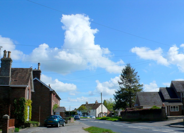
Image: © Nigel Mykura Taken: 8 May 2012
View south east along the main road The A350 that runs from Blandford Forum through the middle of the village to Sturminster Marshall.
Images are licensed for reuse under creativecommons.org/licenses/by-sa/2.0
Image Location
Latitude
50.834186
Longitude
-2.140957