Steetley Magnesite
Introduction
The photograph on this page of Steetley Magnesite by Alison Rawson as part of the Geograph project.
The Geograph project started in 2005 with the aim of publishing, organising and preserving representative images for every square kilometre of Great Britain, Ireland and the Isle of Man.

There are currently over 7.5m images from over 14,400 individuals and you can help contribute to the project by visiting https://www.geograph.org.uk
Steetley Magnesite
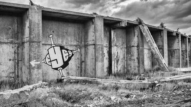
Image: © Alison Rawson Taken: 15 Feb 2012
Established in 1938 to extract magnesia from seawater with the aid of lime, the site eventually closed in 2005. It was partially demolished, first by contractors and then asset stripped for its scrap metal. The site was sold for housing but until now, nesting birds and the recession had put these plans on hold, but as I write bulldozers are flattening what remains.
Images are licensed for reuse under creativecommons.org/licenses/by-sa/2.0
Image Location
Latitude
54.710843
Longitude
-1.221902