Entrance to Almer Manor
Introduction
The photograph on this page of Entrance to Almer Manor by John Lamper as part of the Geograph project.
The Geograph project started in 2005 with the aim of publishing, organising and preserving representative images for every square kilometre of Great Britain, Ireland and the Isle of Man.

There are currently over 7.5m images from over 14,400 individuals and you can help contribute to the project by visiting https://www.geograph.org.uk
Entrance to Almer Manor
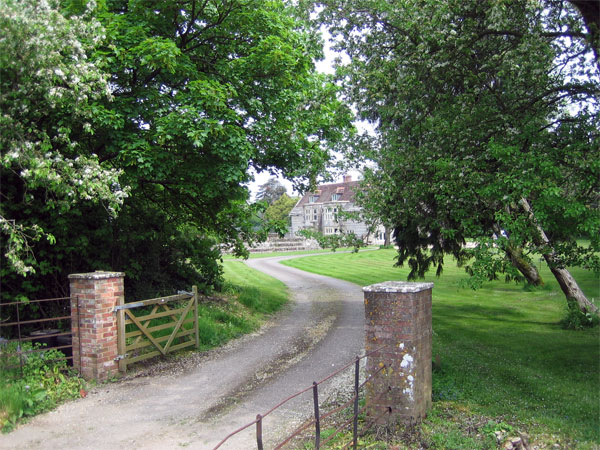
Image: © John Lamper Taken: 12 May 2006
This gateway is next to the end of the churchyard wall. The greater part of the manor house lies in SY9199
Images are licensed for reuse under creativecommons.org/licenses/by-sa/2.0
Image Location


Leaflet Map data © OpenStreetMap
Latitude
50.790133
Longitude
-2.124452