More housing in Carterton
Introduction
The photograph on this page of More housing in Carterton by Jonathan Billinger as part of the Geograph project.
The Geograph project started in 2005 with the aim of publishing, organising and preserving representative images for every square kilometre of Great Britain, Ireland and the Isle of Man.

There are currently over 7.5m images from over 14,400 individuals and you can help contribute to the project by visiting https://www.geograph.org.uk
More housing in Carterton
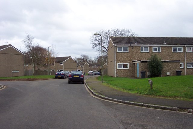
Image: © Jonathan Billinger Taken: 14 Dec 2006
Carterton is an object lesson in housing estate styles, this on looks like 1970's.
Images are licensed for reuse under creativecommons.org/licenses/by-sa/2.0
Image Location
Latitude
51.761918
Longitude
-1.604392