Above the River Wye
Introduction
The photograph on this page of Above the River Wye by David Purchase as part of the Geograph project.
The Geograph project started in 2005 with the aim of publishing, organising and preserving representative images for every square kilometre of Great Britain, Ireland and the Isle of Man.

There are currently over 7.5m images from over 14,400 individuals and you can help contribute to the project by visiting https://www.geograph.org.uk
Above the River Wye
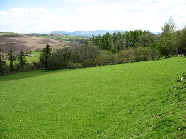
Image: © David Purchase Taken: 12 May 2012
At this point the Wye Valley Walk follows a minor road for about 2 kilometres. The pronounced top in the distance is Twmpa (Lord Hereford's Knob).
Images are licensed for reuse under creativecommons.org/licenses/by-sa/2.0
Image Location
Latitude
52.102751
Longitude
-3.36154