The cross roads at McNulty's Corner
Introduction
The photograph on this page of The cross roads at McNulty's Corner by Eric Jones as part of the Geograph project.
The Geograph project started in 2005 with the aim of publishing, organising and preserving representative images for every square kilometre of Great Britain, Ireland and the Isle of Man.

There are currently over 7.5m images from over 14,400 individuals and you can help contribute to the project by visiting https://www.geograph.org.uk
The cross roads at McNulty's Corner
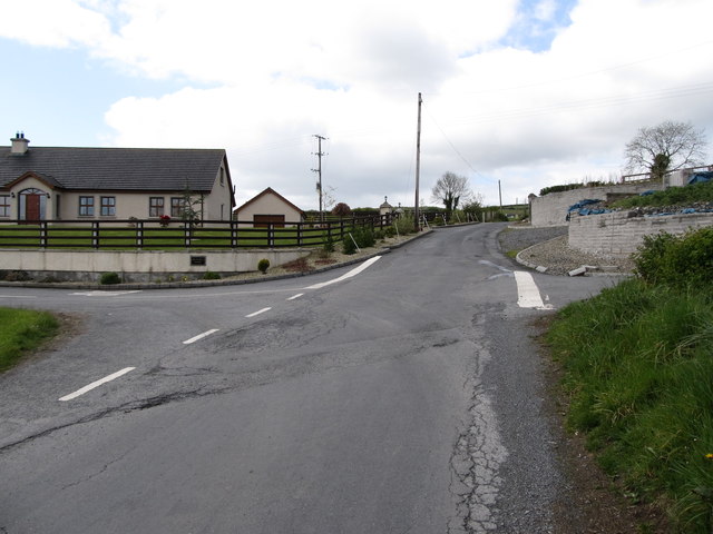
Image: © Eric Jones Taken: 15 May 2012
Here the Carrowbane Road is intersected by the Fort and Kesh roads.
Images are licensed for reuse under creativecommons.org/licenses/by-sa/2.0
Image Location
Latitude
54.187654
Longitude
-6.454949